Archaeological Research Continues
In recent days, a group of marine archaeologists has been working in the northern part of lake Þingvallavatn. This project is the largest underwater archaeological survey ever carried out in Iceland and represents a significant milestone for Icelandic maritime archaeology.
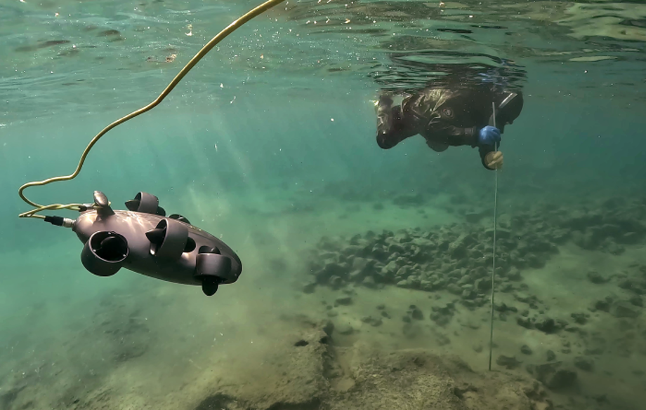
Jørgen Dencker investigates submerged features while an Remotely Operated Vehicle records the process on video
John McCarthy
The goal of the project is to survey the lake bottom to understand and investigate the submerged landscape of Þingvellir. Land subsidence in the rift valley has been significant over the last millennium - by as much as 4m.
The lakeshore is in proximity to the world-famous Þingvellir parliament founded in 930 A.D. The area is rich in archaeological remains including Viking-Age farms around the lake.
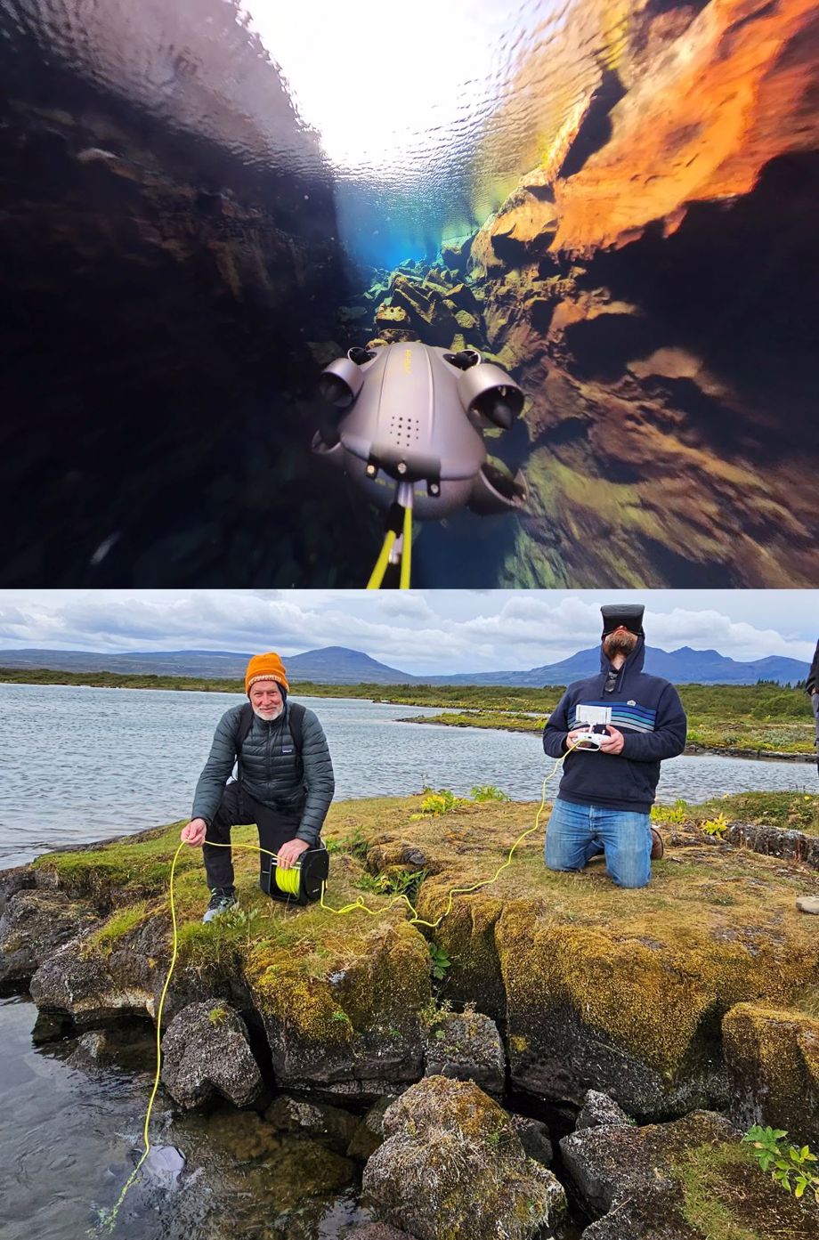
Dr. John McCarthy (Flinders University) pilots a Remotely Operated Vehicle using a VR headset.
John McCarthy
The project uses remote-sensing methods such as drones, sonar and ROV (Remotely Operated Vehicle) in tandem with scientific diving. A considerable area of the lake shore has already been examined from the air, and in a short time the marine archaeologists have managed to sonar survey the northern part of the lake within the boundary of the National Park.
Over 70km of linear sonar data was captured. The team are now diving targets of archaeological interest. The survey has also produced a detailed bathymetry of the area.
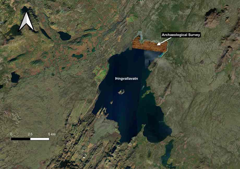
The team has gathered over 70 km of linear sonar data.
Kevin Martin
The team is led by Dr Kevin Martin (Nordic Maritime Group) and assisted by Jens Lindström (Nordic Maritime Group), Jørgen Dencker (JD Maritime), Dr John McCarthy of Flinders University, Adelaide and Gunnar Grímsson (Þingvellir National Park).
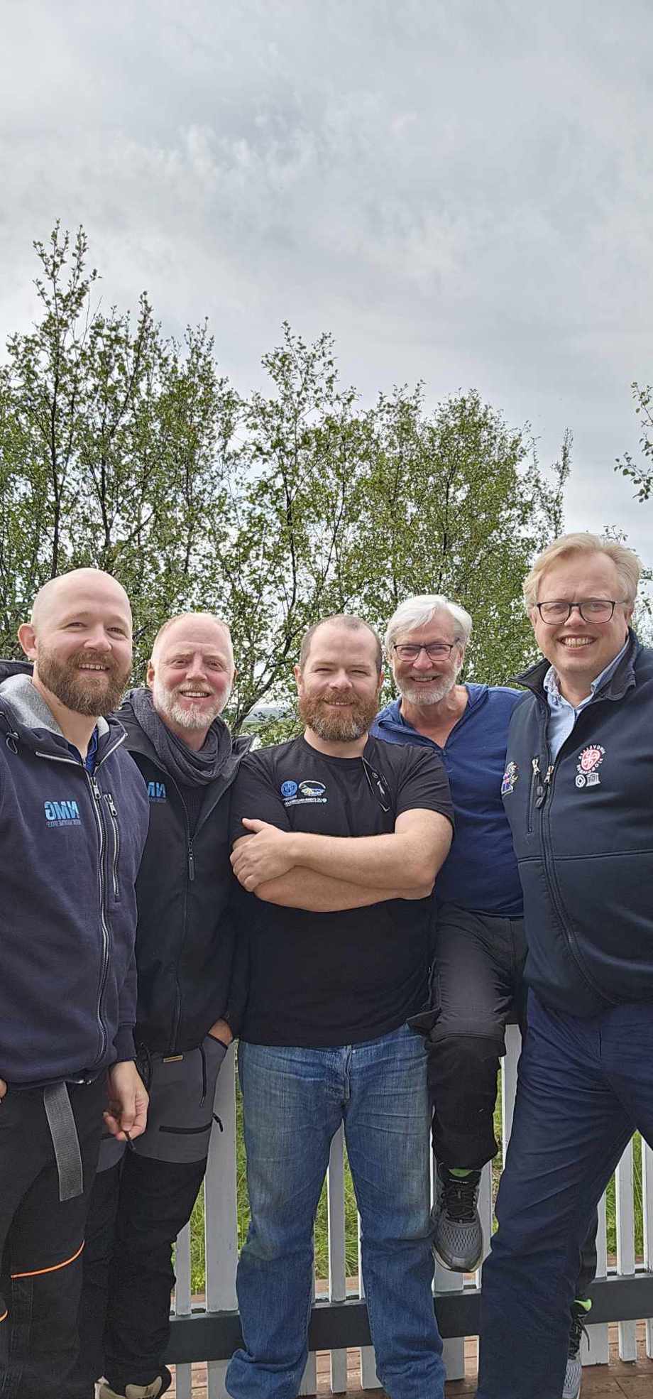
Dr Kevin Martin, Jens Lindström, Dr. John McCarthy, Jørgen Dencker and Einar Á. E. Sæmundsen Þingvellir national park´s director.
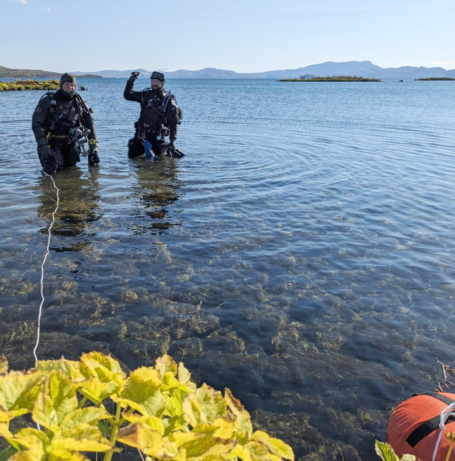
Marine archaeologists Jens and Kevin ready for another dive in the lake.
Dr. John McCarthy