Nature
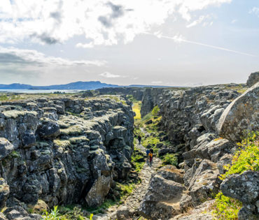
Langistígur
A path runs south towards the historical assembly site.
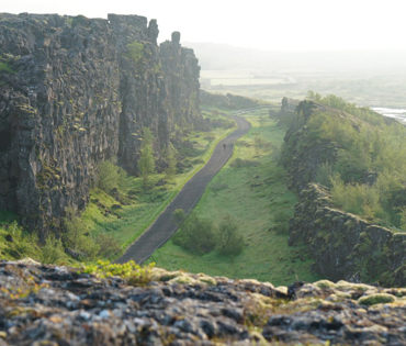
Almannagjá
Almannagjá on a cloudy day.
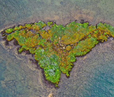
Hallvik
A green islet in lake Þingvallavatn.
In the last few decades, research has made it clear that Þingvellir is a natural wonder on a international scale, with the geologic history and the biosystem of Lake Þingvallavatn forming a unique entity, a magnificent showcase.
Being able to witness the evolution and formation of new species in a place like Lake Þingvallavatn is of immense value.
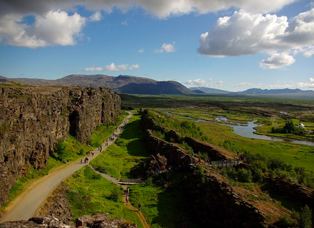
The Þingvellir area is part of a fissure zone running through Iceland, being situated on the tectonic plate boundaries of the Mid-Atlantic Ridge.
The faults and fissures of the area make evident the rifting of the earth's crust.
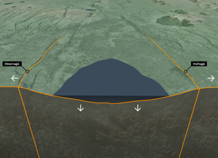
Tectonic Movements
Þingvellir is connected to volcanic and fissure belt that runs across Iceland called the Mid-Atlantic ridge.
Geologic history
During the last glacial period, a layer of ice, more than a 1000 metres thick, covered the land.
Lake Þingvallavatn
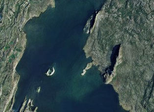
An old Icelandic proverb says "Fertile is water that runs under lava." The proverb is particularly appropriate for the water that flows into Lake Þingvallavatn.
Watershed
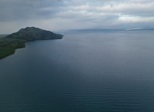
Lake Þingvallavatn lies in a rift valley that extends south from the Langjökull glacier to mount Hengill, and from Botnssúlur in the west to Lyngdalsheiði in the east.
Fish in the lake
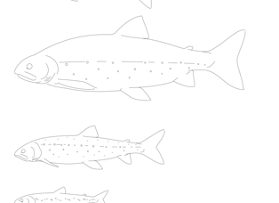
In the lake live three of the five species of freshwater fish found in Iceland: brown trout, Arctic charr and the three-spine stickleback.
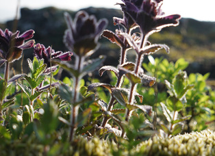
Vegetation and wildlife
Birch woodland is characteristic of the Þingvellir area, indicated by the original name of the area in Icelandic: Bláskógar (literally "Blue Woods").